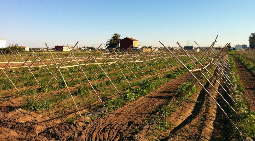
The fertile region of Valencia, la huerta, is considered all the fields watered by the irrigation channels from the river Turia, where they take the water through dams.
The irrigations channels are:
Montcada, Favara, Quart, Benàger-Faitanar, Mislata-Xirivella, Tormos, Rascanya, Mestalla and Rovella.
The origin of the horta of Valencia has been unable to agree to all historians, but there is unanimity in the great promotion and development of the horta in the Islamic period, from the VIII to XIII century where apart from the introduction of new crops and cultivation methods, It highlights the work done in water infrastructure, the network of channels.
Although the acreage has declined significantly in recent years, it is considered that the garden of Valencia comprises approximately 10-15km radius around Valencia, with a surface that has traditionally been established in 10,500 hectares.
The “Horta of València”, fertile region with irrigation fields, is located in the surroindings of Valencia city. From Puzol at north, to the Albufera, at south, and the relief of Paterna, Torrent and Montcada, at west.
It is divided into two regions, l’Horta Nord in the north of the River Turia and l’Horta south, including the city of Valencia, at south of the same.
Highlights to be surrounded by natural systems where the water is very present, such as the Albufera of Valencia to the south, the Mediterranean Sea to the east, the Turia Natural Park to the west and the Marsh of Moro in Sagunt at north.
The climate is typically Mediterranean, has mild winters and very hot summers with rainfall concentrated in spring and autumn, when rainfall episodes can be severe. The traditional activity of the region has been the agriculture, with a predominance of three types of crops: the orange, vegetables and rice.


